Build the future Municipal Platform

Traditionally
Municipal engineering data is complex and of various types. Urban digital archiving lacks valuable application scenarios. It is also difficult for digital twin to realize its engineering significance in guiding urban management.

Onesight BIM+AR
Compatible with various data formats such as BIM, photogrammetry and point cloud. The value of data is realized in various application scenarios by utilizing RTK positioning capability and GIS (Geographic Information System).
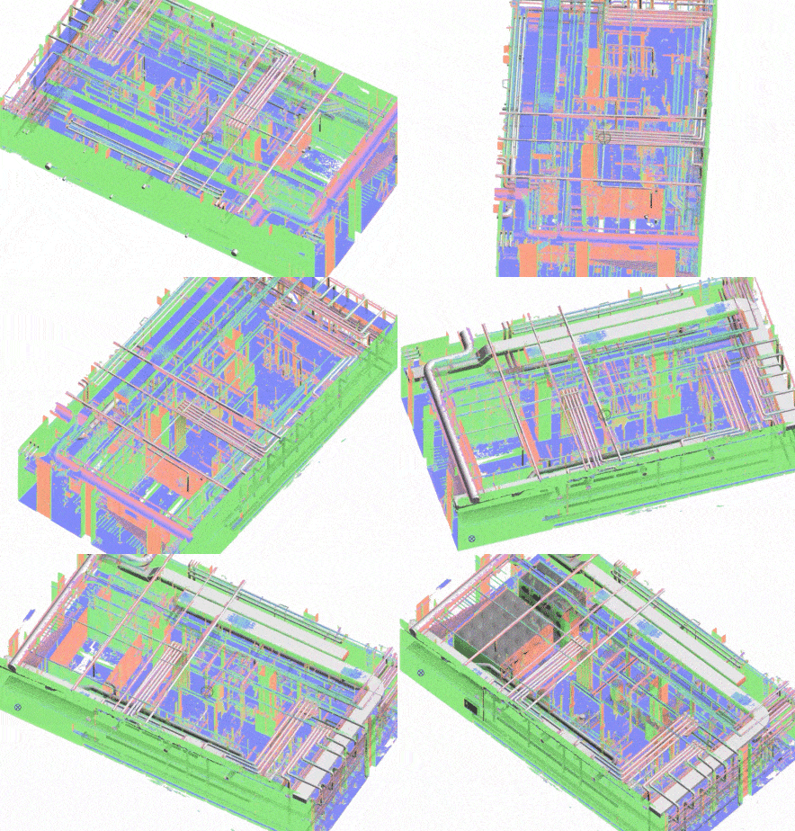
Multi-source model fusion
BIM model, photogrammetry, point cloud and other common models in municipal engineering are captured truthfully from real scenes with RTK positioning equipment. They will then be rendered at 1:1 ratio, restoring urban streets, bridges, railways, hidden pipelines and other municipal infrastructures, by aligning with GIS coordinates through the platform.
How it works
Connecting on-site construction and remote operation
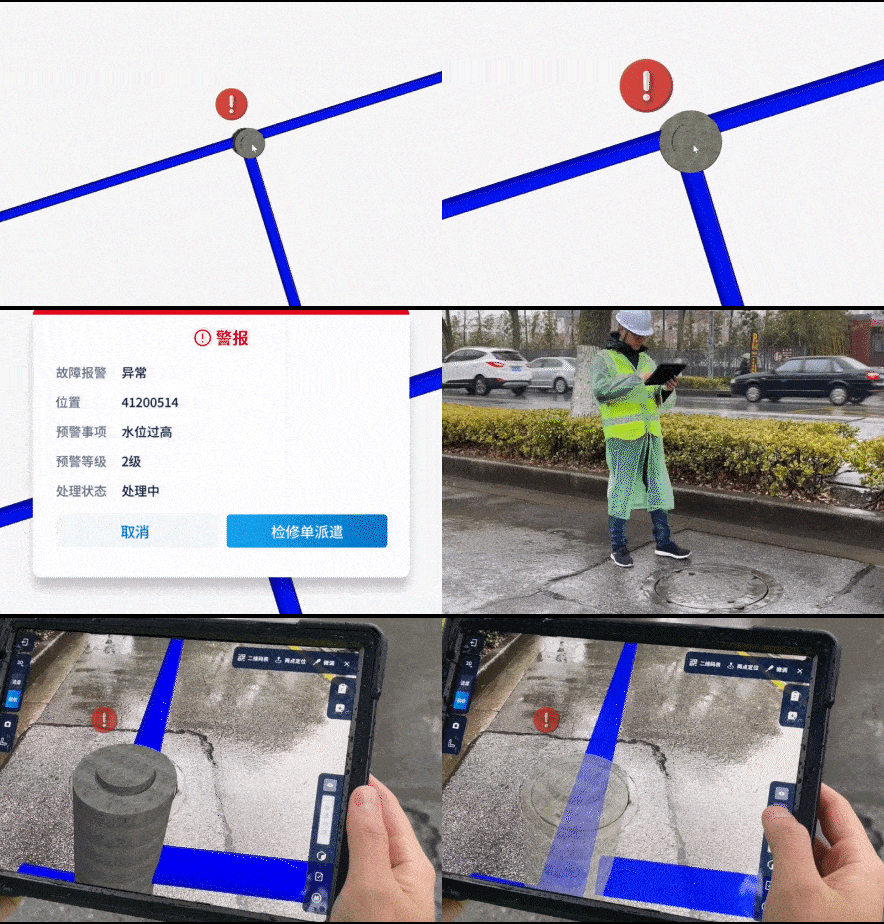
By linking quality check orders to models, the fully-real Municipal platform provides city managers with a new way of urban asset management. It helps to get rid of the paper-based and lagging management cliché in operation and maintenance. One mobile device and one computer are all you need to carry out routine inspection. It realizes the flow of work orders and duties, historical data tracing, and on-site problem reporting.
How it works
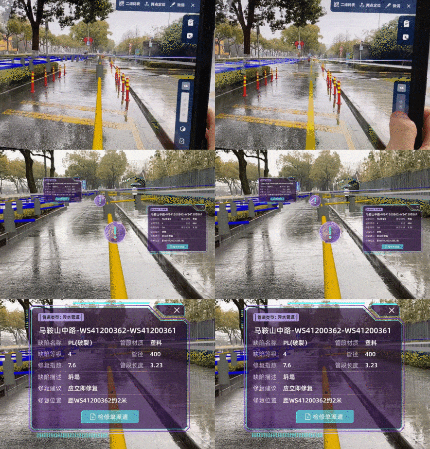
Urban operation and maintenance platform
Since municipal engineering is complex, the fully-real Municipal platform provides city managers with a reliable, real-time, and intuitive urban management approach, which can be applied to urban renewal scenarios, such as pipeline relocation and construction circumvention, as well as routine inspection scenarios, such as work section management and quality check.
How it works
Services and Price
basic plan
Project-based Billing
Multi-format data uploading and processing
On-site positioning and visualization
Onesight BIM+AR smart positioning device
No. of Accounts : Unlimited
Data Volume: Unlimited
Duration of use: Licensed annually
Software operation and application training service
Customized version
Custom on demand
Multi-format data uploading and processing
On-site positioning and visualization
Onesight BIM+AR smart positioning device
Data collection tools and services
Feature customization
Privatization deployment
No. of Accounts : Unlimited
Data Volume: Unlimited
Duration of use: Licensed annually
Software operation and application training service


